San Francisco Speed Camera Locations: A Working Guide, by District
The full list of San Francisco's Vision Zero speed safety cameras, grouped by SFAR neighborhood district, plus what's a warning, what becomes a ticket, and what residents should know.
San Francisco has installed speed safety cameras at high-collision, high-pedestrian corridors across the city as part of the Vision Zero SF initiative to eliminate traffic fatalities. The program begins with a warning period: drivers caught speeding receive a notice in the mail with no fine attached. After the warning window closes, the same cameras issue civil citations. The locations are concentrated on streets with documented pedestrian collision history and persistent speeding complaints, spread across nine SFAR neighborhood districts, from the Richmond and Sunset through the Castro, the Mission, Bayview, and downtown. This guide lists every confirmed location by district. Oliver Burgelman, broker associate at Vanguard Properties, has been representing San Francisco buyers and sellers for over twenty-three years. Reach Oliver at (415) 244-5846 or [email protected].
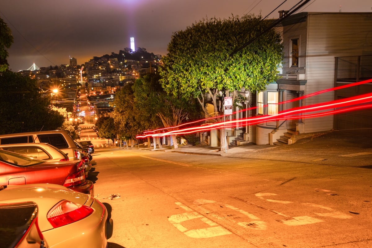
A warning notice on Fulton Street
I was driving down Fulton Street a little fast when I remembered the new San Francisco speed cameras. Sure enough, a warning notice arrived from the city not long after. I was impressed at how fast it landed, and relieved it was not yet a ticket. If you have ever driven Fulton, you know how easy it is to pick up speed, and how often people crossing the street, even in the crosswalk, are at real risk. Slowing down is not a bad idea on its own. The added incentive is that the citations are coming, and they are coming fast.
San Francisco's speed safety camera program is part of the city's Vision Zero initiative, the long-running effort to eliminate traffic fatalities. The city chose corridors with the longest histories of pedestrian collisions, speeding complaints, and serious injuries. The cameras run in two phases: a warning period during which violations generate a mailed notice with no fine, followed by full enforcement when those same violations become civil citations. The exact rollout timing varies by location.
Jump to a district
- District 1: Richmond
- District 2: Sunset
- District 3: Ingleside
- District 5: Western Addition, Hayes Valley, Haight-Ashbury
- District 6: Tenderloin, SOMA, Mission Bay
- District 7: Pacific Heights, Marina, Cow Hollow
- District 8: Russian Hill, North Beach
- District 9: Inner Mission, Bernal Heights
- District 10: Bayview, Hunters Point
- What to know about warnings and citations
- Frequently asked questions
District 1: Richmond
Covers the Richmond District from the Presidio south to Golden Gate Park, including Inner, Central, and Outer Richmond.
- Fulton Street, 42nd Avenue to 43rd Avenue
- Fulton Street, 2nd Avenue to Arguello Boulevard
- Geary Boulevard, 7th Avenue to 8th Avenue
District 2: Sunset
Covers the Sunset District from Golden Gate Park south through Inner Sunset, Central Sunset, and the Parkside.
- Lincoln Way, 27th Avenue to 28th Avenue
- Sloat Boulevard, 41st Avenue to Skyline Boulevard
District 3: Ingleside
Covers Ingleside and surrounding southwestern neighborhoods.
- Ocean Avenue, Frida Kahlo Way to Howth Street
- Monterey Boulevard, Edna Street to Congo Street
District 5: Western Addition, Hayes Valley, Haight-Ashbury
Covers Hayes Valley, the Western Addition, the Haight, the Lower Haight, and the Castro corridor through to Noe Valley.
- Market Street, Danvers Street to Douglass Street
- Guerrero Street, 19th Street to 20th Street
District 6: Tenderloin, SOMA, Mission Bay
Covers the dense downtown core, the Tenderloin, South of Market, and Mission Bay.
- Turk Street, Van Ness Avenue to Polk Street
- Geary Boulevard, Webster Street to Buchanan Street
District 7: Pacific Heights, Marina, Cow Hollow
Covers the northern waterfront and the central premium-residential corridor.
- Franklin Street, Union Street to Green Street
- Bay Street, Octavia Street to Gough Street
District 8: Russian Hill, North Beach
Covers Russian Hill, North Beach, Telegraph Hill, and the Nob Hill spine.
- Columbus Avenue, Lombard Street to Greenwich Street
- Broadway, Powell Street to Stockton Street
District 9: Inner Mission, Bernal Heights
Covers the Inner Mission, Bernal Heights, and the SOMA-adjacent streets that anchor the southeastern half of the central city.
- 16th Street, Bryant Street to Potrero Avenue
- Cesar Chavez Street, Folsom Street to Harrison Street
- Guerrero Street, 19th Street to 20th Street
- Mission Street, 8th Street to 9th Street
- 10th Street, Harrison Street to Folsom Street
- 9th Street, Bryant Street to Harrison Street
- 7th Street, Harrison Street to Folsom Street
- Harrison Street, 4th Street to 5th Street
- Bryant Street, 2nd Street to 3rd Street
- King Street (eastbound only), 4th Street to 5th Street
- San Jose Avenue, 29th Street to 30th Street
District 10: Bayview, Hunters Point
Covers Bayview, Hunters Point, the Excelsior, Visitacion Valley, and the southern edge of the city.
- Cesar Chavez Street, Indiana Street to Tennessee Street
- 3rd Street (northbound only), Key Avenue to Jamestown Avenue
- San Jose Avenue, Santa Ynez Avenue to Ocean Avenue
- Ocean Avenue, Frida Kahlo Way to Howth Street
- Alemany Boulevard, Farragut Avenue to Naglee Avenue
- Mission Street, Ottawa Avenue to Allison Street
- Geneva Avenue, Prague Street to Brookdale Avenue
A note on accuracy. The locations above were assigned to SFAR neighborhood districts based on the cross streets, with the goal of making the list easier to scan by neighborhood. A few cameras sit on boundary streets between two districts. The street locations themselves are accurate, but if you live near a district line, your home may sit on the other side of the boundary even when the camera does not.
Wondering what your home is worth?
If you own a home along one of the corridors above, traffic-calming infrastructure tends to be a quiet positive for residential property value over time. Slower streets, fewer collisions, and more pedestrian comfort make a block more livable, which the market eventually prices in. If you have been thinking about a sale, the right starting point is a real read of what your home is worth in today's market.
What to know about warnings and citations
The warning period
Each camera location begins with a warning phase, during which speeding violations generate a mailed notice that explains what was detected, when, and where, but carries no fine. The warning lets drivers adjust their behavior on the specific corridors with the new enforcement, without an immediate financial penalty. The warning is sent to the registered owner of the vehicle, not necessarily the driver. Once the warning period closes for a given camera, the same violation becomes a civil citation with a real fine attached.
Citation amounts
California's speed safety camera program is designed as a civil enforcement system, not a criminal one. Fines are calibrated to the amount you were over the limit, starting at the lower end for marginal speeding and rising for higher speeds. The structure is designed to be progressive: faster speeds, larger fines. Citations are mailed to the registered owner of the vehicle. The program does not add points to your DMV record, and the citation is not reported to insurance the way a moving violation would be. The fines are not advice; the specific amounts and structure are set by the program and are easily looked up if you receive a notice.
What the cameras do and do not capture
The cameras are designed to detect speed and capture an image of the rear license plate of vehicles exceeding the posted limit by a defined threshold. They are not red-light cameras, they do not photograph the driver, and they do not capture audio. The data captured is governed by state-level rules that limit how it can be retained and used. Each location is required to be marked with signage announcing the presence of speed enforcement.
If you receive a notice
Read the notice carefully. If it is a warning, no further action is required, though it is a useful prompt to remember the location. If it is a citation, the notice will include instructions on how to pay or contest the violation. Contest options exist for genuine misidentifications, plate-reader errors, and ownership transfers. The civil-traffic structure means contesting follows a different procedure than a moving violation, with the specifics laid out on the citation.
What this means for San Francisco homeowners
The honest read is that traffic calming on a residential corridor is a quiet positive for nearby property values. The corridors selected for the camera program are the streets with the worst pedestrian-safety history in the city. Slowing the traffic on those blocks tends to make adjacent housing more livable: less collision noise, fewer near-misses at crosswalks, more comfort for residents walking to neighborhood businesses, schools, and transit. None of that shows up on a comp sheet immediately, but over a five-to-ten-year horizon, blocks that get safer tend to get more desirable, and more-desirable blocks tend to trade at a premium.
There is a smaller, second-order effect: corner units and front-facing units on the slowed corridor benefit more than rear-facing units, because the most direct experience of the calmer street is in the front rooms. If you own a flat or single-family home with a primary living room facing one of these corridors, the speed cameras are a small but real positive over time. If you own a single-family home a block back from the corridor, the benefit is more diffuse.
The exception, of course, is short-term resale of a home where the camera signage is the first thing a buyer sees driving up. That visual is a mild deterrent for some buyers, even though the underlying calmer-traffic effect is a long-run positive. The marketing fix for that is straightforward: lead the listing with the home's interior, the rear yard or deck, and the walking-distance amenities; don't lead with a street-level photo that frames the camera signage.

Oliver has been representing buyers and sellers in San Francisco and Marin for over twenty-three years. The neighborhoods on this list are the ones he has walked, driven, sold, and bought in for two decades, from Fulton in the Richmond to Cesar Chavez in the Mission to Geneva in the Excelsior. If you own a home on or near one of the corridors above and are starting to think about a sale, or you want to understand how traffic-calming infrastructure ages into property value over time, the 15-minute call is the right first step. Oliver brings the local-market read and the specific marketing playbook for any block in the city.
Frequently asked questions
Are the San Francisco speed cameras issuing tickets yet?
How much is the fine for a speed safety camera ticket in San Francisco?
Do the cameras photograph drivers?
Where are the speed cameras in San Francisco?
Will more cameras be added in the future?
Do the cameras affect property values?
What is Vision Zero SF?
I received a warning notice. What should I do?
I am thinking about selling a home near one of these corridors. Who do I call?
Thinking about selling your San Francisco home?
Whether your block is on this list or not, the right starting point for any potential sale is a real read of the current market for your specific street. Get a free home valuation, or book a 15-minute call to talk through the timing and the specifics of your property.